Urban Planning in the 21st Century: Satellite Data and Smart Cities

Urban planning in the 21st century is being revolutionized by satellite data, paving the way for the development of smart cities. By providing detailed and up-to-date information on various urban parameters, satellites enable city planners to make informed decisions, enhance infrastructure, and improve the quality of life for residents.
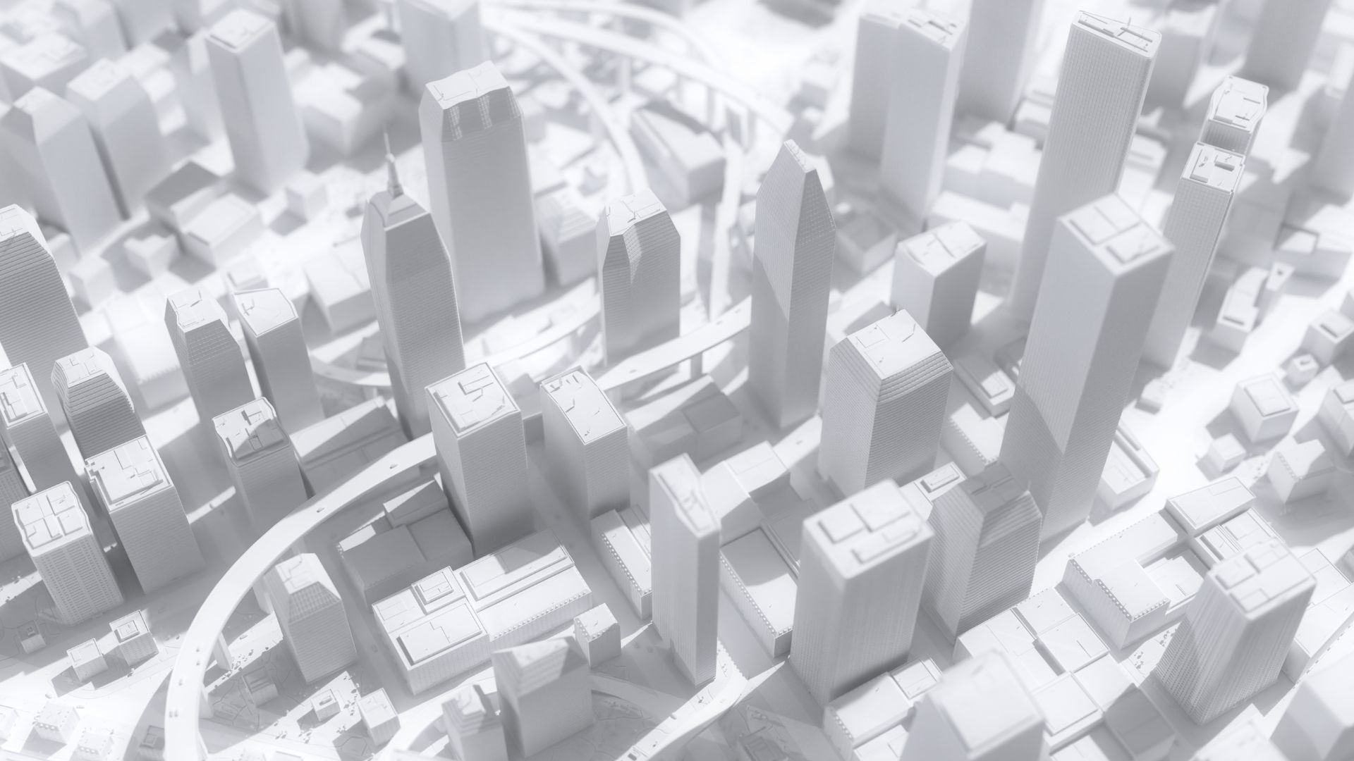
Satellite imagery offers a comprehensive view of urban landscapes, helping planners monitor land use, detect changes, and plan new developments. High-resolution images from satellites like Landsat and Sentinel-2 provide critical data on building density, green spaces, and transportation networks. This information is essential for designing sustainable and efficient urban environments.

One of the key applications of satellite data in urban planning is transportation management. By analyzing traffic patterns and congestion, satellites help planners optimize road networks, improve public transportation, and reduce commute times. Real-time data from satellites also support intelligent traffic management systems, enabling adaptive traffic signals and dynamic routing to ease congestion.
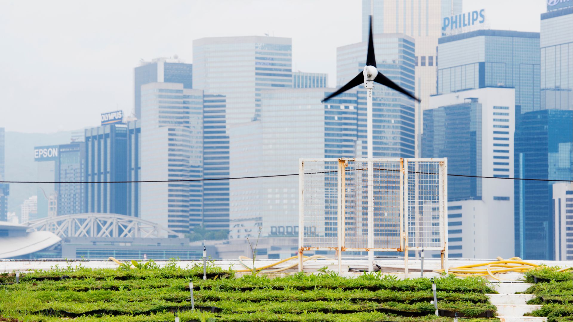
Environmental monitoring is another crucial aspect of smart city planning. Satellites track air quality, monitor pollution levels, and assess the impact of urbanization on natural resources. This data helps cities implement measures to reduce emissions, enhance green spaces, and promote sustainable practices. For example, satellite data can identify urban heat islands, guiding the placement of parks and green roofs to mitigate temperature increases.

Furthermore, satellites contribute to disaster preparedness and resilience. By providing early warning of natural hazards such as floods, hurricanes, and earthquakes, satellites help cities develop emergency response plans and safeguard communities. Post-disaster, satellite imagery aids in assessing damage, coordinating relief efforts, and planning reconstruction.
Satellites also support smart infrastructure management. By monitoring the condition of roads, bridges, and buildings, satellite data helps cities prioritize maintenance and avoid costly repairs. Remote sensing technologies, such as Synthetic Aperture Radar (SAR), can detect structural changes and subsidence, ensuring the safety and longevity of urban infrastructure.
Satellite data is a powerful tool for urban planning, enabling the development of smart cities that are sustainable, efficient, and resilient. By leveraging this technology, cities can enhance infrastructure, improve quality of life, and prepare for future challenges in the 21st century.