Precision Agriculture: Optimizing Crop Management with Satellite Imagery

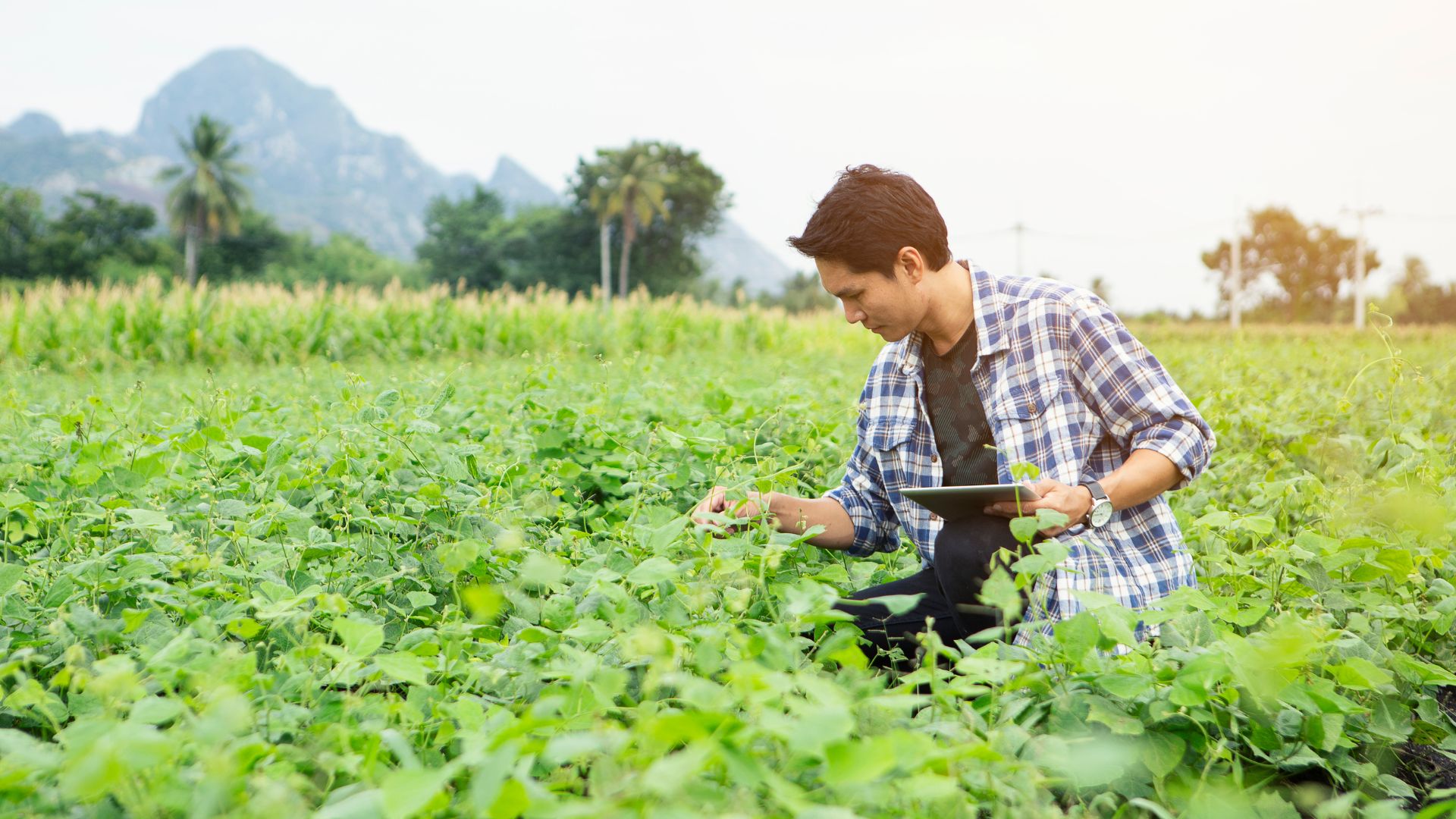
Precision agriculture represents a technological revolution in farming, with satellite imagery at its core. By providing detailed, real-time data on crop conditions, satellites enable farmers to optimize crop management, enhance productivity, and promote sustainable practices.
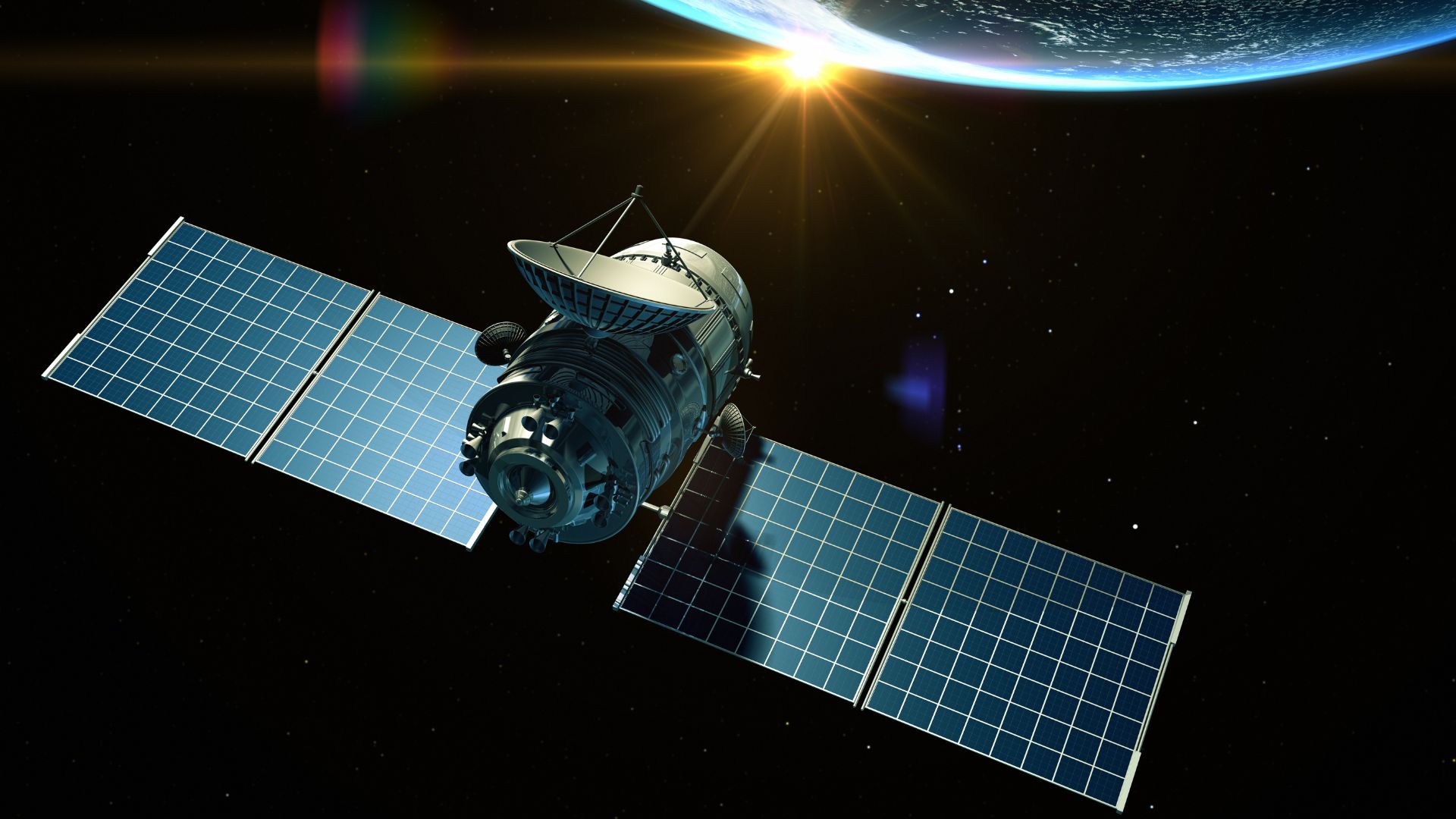
Satellites like Sentinel-2 and Landsat deliver high-resolution images that help farmers monitor various aspects of crop health, such as plant vigor, soil moisture, and pest infestations. Using the Normalized Difference Vegetation Index (NDVI), farmers can assess plant health by analyzing the reflectance of light from the crop canopy. This allows for early detection of stress factors, enabling timely interventions to prevent yield losses.
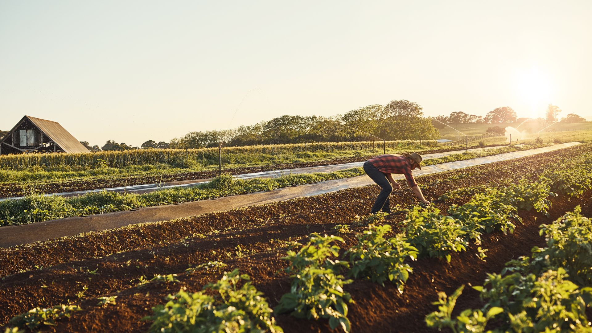
Soil moisture is another critical factor in crop management. Satellites equipped with microwave sensors, like SMAP, measure soil moisture levels, helping farmers optimize irrigation schedules and conserve water resources. By applying water only when and where it is needed, farmers can reduce water usage and improve crop yields.
Moreover, satellite imagery supports precision farming techniques like variable rate application (VRA) of fertilizers and pesticides. By analyzing spatial variability within fields, farmers can apply inputs more efficiently, reducing costs and minimizing environmental impact. For instance, satellite data can identify areas with nutrient deficiencies, allowing for targeted fertilizer application.

Satellites also play a role in monitoring crop growth and predicting harvest times. By tracking crop development stages, satellites help farmers plan harvesting operations, ensuring optimal timing and reducing post-harvest losses.
In addition to individual farms, satellite data benefits larger agricultural systems by providing insights into regional and global crop conditions. This information is crucial for food security, enabling policymakers to anticipate shortages and plan accordingly.

Satellite imagery is transforming agriculture by providing farmers with precise, actionable data. By optimizing crop management, satellite technology enhances productivity, promotes sustainability, and ensures food security in a changing world.