Monitoring Climate Change: Satellite Observations of Earth's Changing Environment
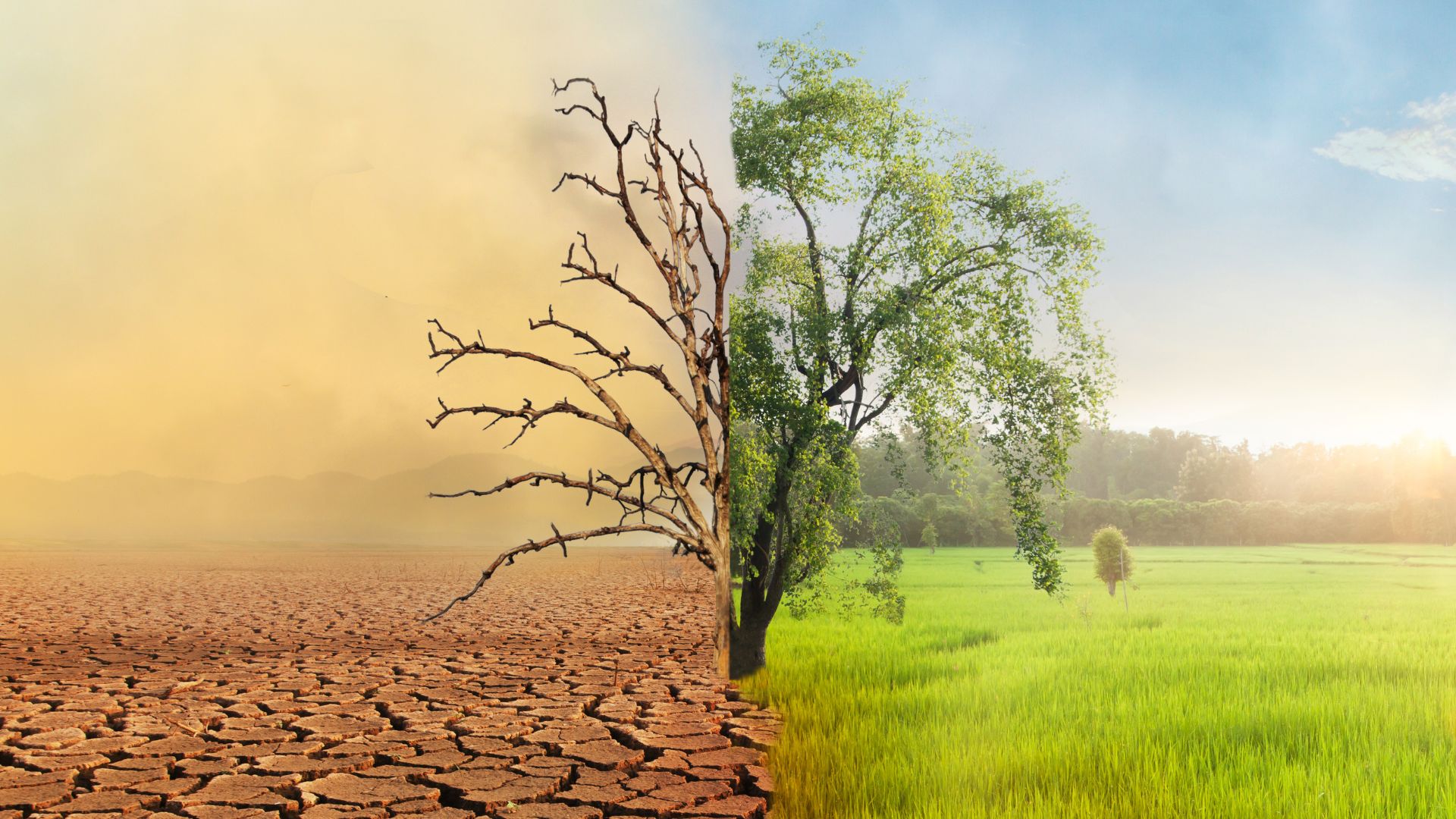
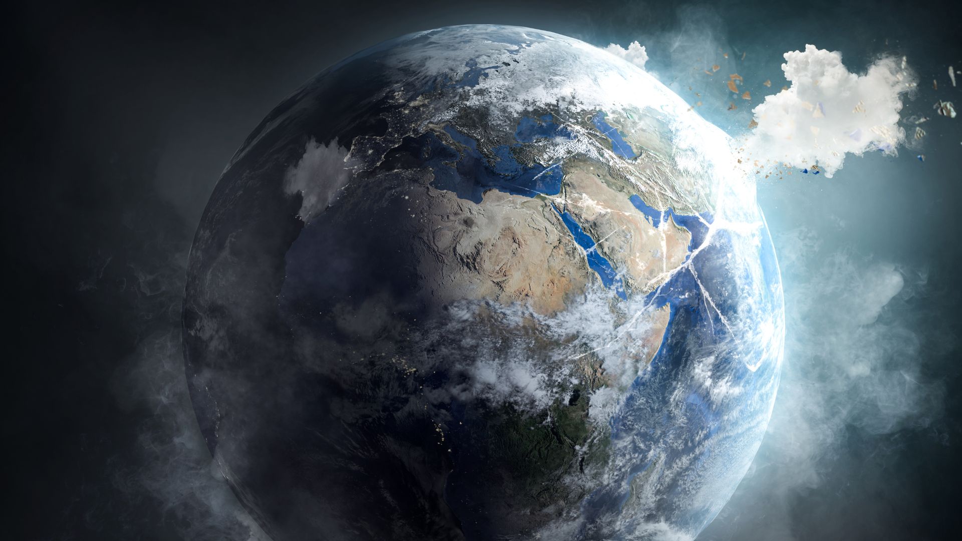
Climate change remains a paramount concern in the 21st century, affecting ecosystems, weather patterns, and human societies. Satellites have revolutionized how we monitor these changes, providing critical data on Earth's climate system. These advanced technologies offer a global perspective, capturing detailed images and measurements that help scientists understand and predict climatic shifts.
Satellites track a range of indicators including atmospheric temperatures, greenhouse gas concentrations, sea levels, and ice cover. Instruments like the Moderate Resolution Imaging Spectroradiometer (MODIS) and the Advanced Microwave Scanning Radiometer (AMSR) collect data that reveal trends in climate variables over time. For instance, satellite data have shown a consistent rise in global temperatures, correlating with increased carbon dioxide levels.

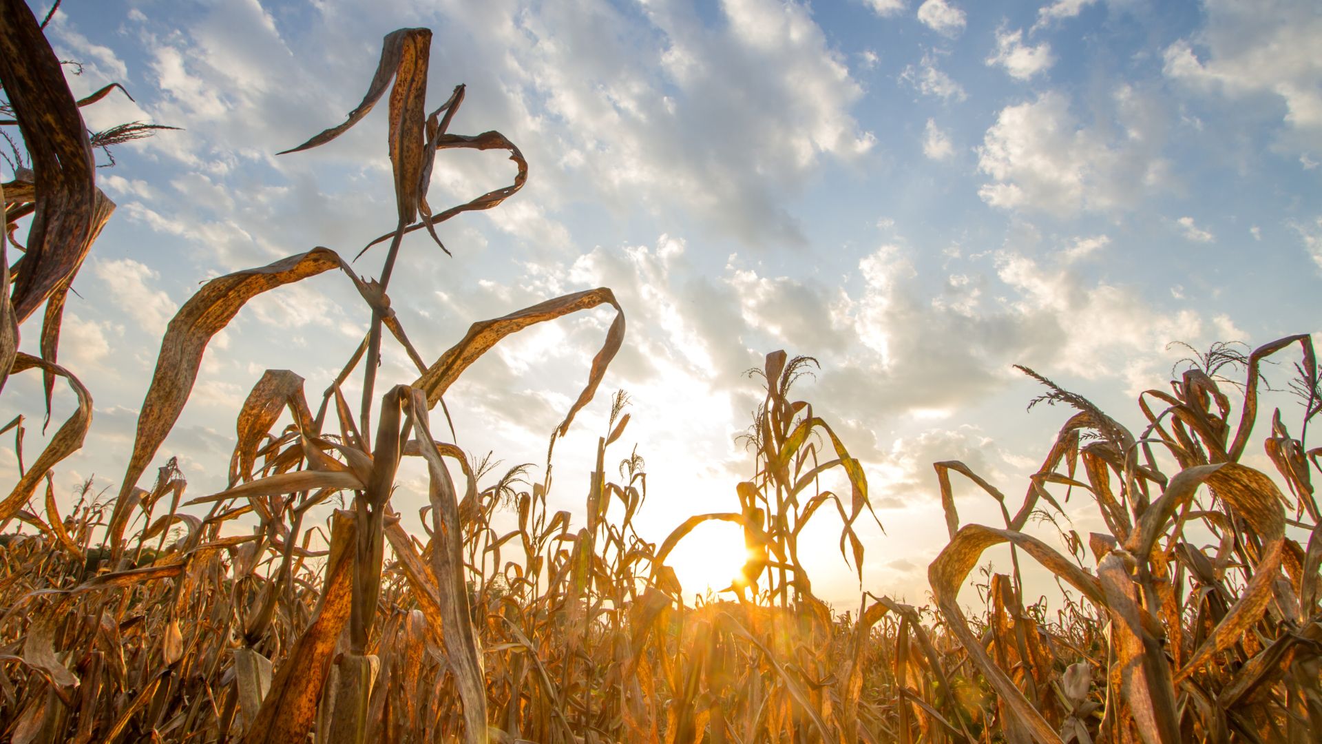
Additionally, satellites monitor the health of Earth's vegetation. The Normalized Difference Vegetation Index (NDVI) derived from satellite imagery helps scientists assess plant growth, vegetation cover, and biomass production. This information is crucial for understanding the impact of climate change on agriculture and natural ecosystems.
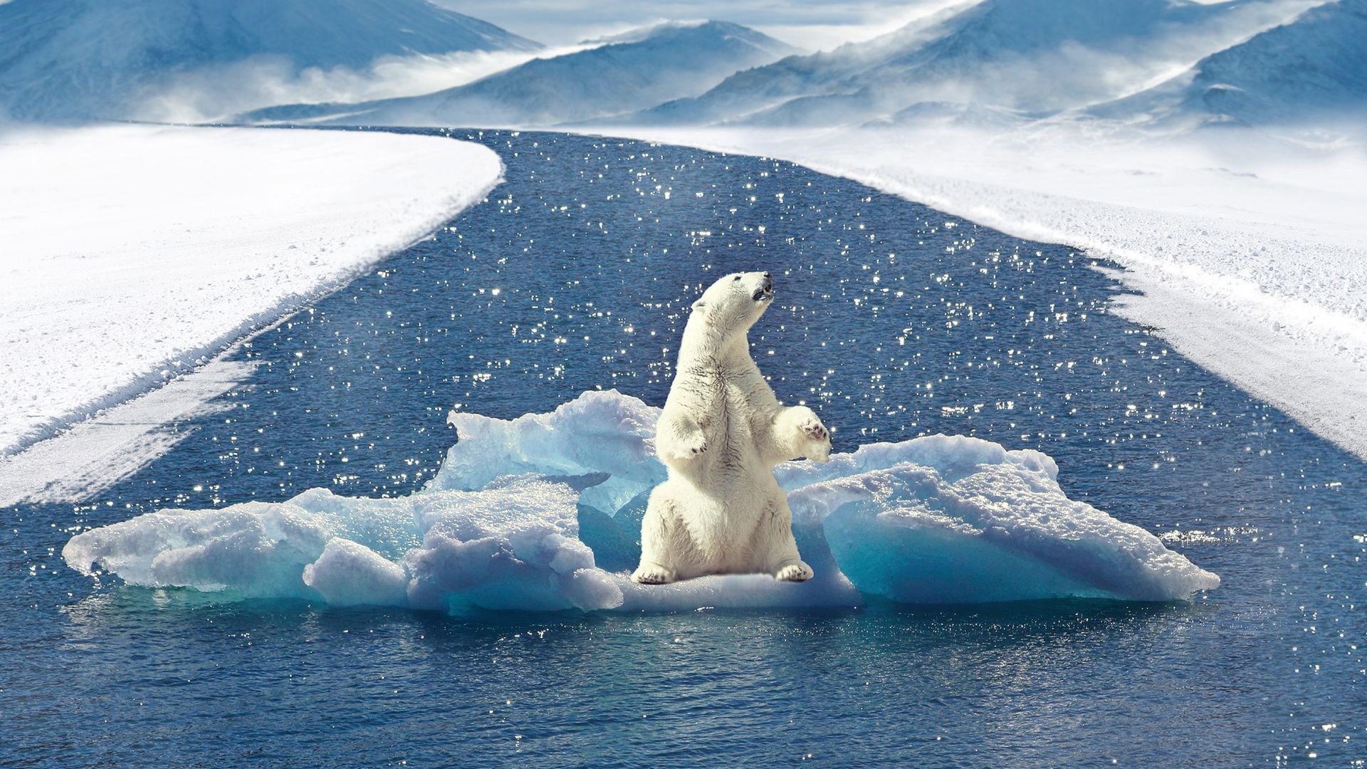
Polar regions, particularly sensitive to climate change, are also under close surveillance. Satellites like CryoSat and ICESat provide detailed measurements of ice sheet thickness and extent. These observations have documented alarming rates of ice melt in Greenland and Antarctica, contributing to rising sea levels.
Satellite observations are indispensable for climate change research, offering comprehensive data that drive scientific discoveries and inform policy decisions. By continuously monitoring Earth's changing environment, satellites enable us to better understand, mitigate, and adapt to the impacts of climate change.