Exploring Remote Regions: Satellite Mapping of Earth's Most Inaccessible Areas

Exploring Earth's most remote and inaccessible regions has always been a challenge, but satellite mapping is changing the game. Satellites provide detailed, accurate, and up-to-date maps of areas that are difficult or impossible to reach by traditional means, opening new frontiers for exploration and research.
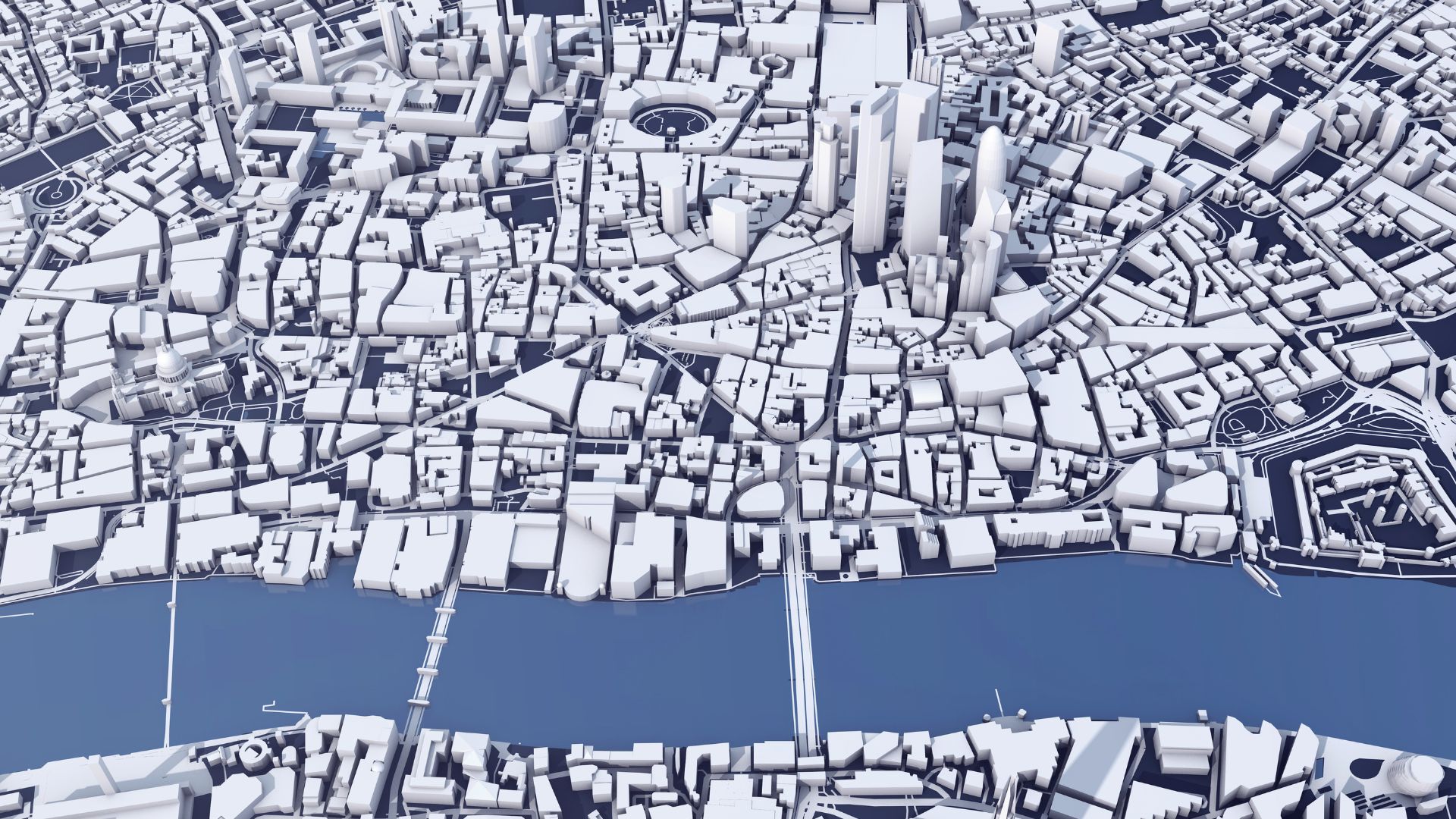
Satellites equipped with advanced imaging technologies, such as Synthetic Aperture Radar (SAR) and optical sensors, capture high-resolution images of remote regions. These images are essential for mapping landscapes, monitoring environmental changes, and conducting geological surveys. For example, satellites have mapped vast stretches of the Amazon rainforest, revealing previously unknown features and aiding in conservation efforts.
One of the most significant contributions of satellite mapping is in polar regions. Satellites like CryoSat and ICESat monitor ice sheets, glaciers, and sea ice, providing critical data on changes in ice cover and thickness. This information is vital for understanding the impacts of climate change on these fragile ecosystems and for predicting sea level rise.
In addition to polar areas, satellites explore remote mountain ranges, deserts, and oceans. They provide detailed topographic maps, helping scientists study geological formations, track tectonic activity, and assess natural resources. For instance, satellite mapping has revealed the intricate networks of waterways in arid regions, supporting water management and agricultural planning.
Satellites also play a crucial role in biodiversity research. By mapping habitats and tracking wildlife movements, satellites help scientists study species distribution and behavior in remote areas. This data is essential for developing conservation strategies and protecting endangered species.
Furthermore, satellite mapping supports humanitarian efforts in remote regions. During natural disasters or conflicts, satellites provide real-time data on affected areas, guiding relief operations and ensuring aid reaches those in need. For example, satellite imagery has been used to locate refugee camps and assess the impact of earthquakes in remote areas.
Satellite mapping is revolutionizing the exploration of Earth's most inaccessible regions. By providing detailed and accurate data, satellites open new opportunities for scientific research, conservation, and humanitarian efforts, helping us understand and protect our planet's most remote and fragile environments.